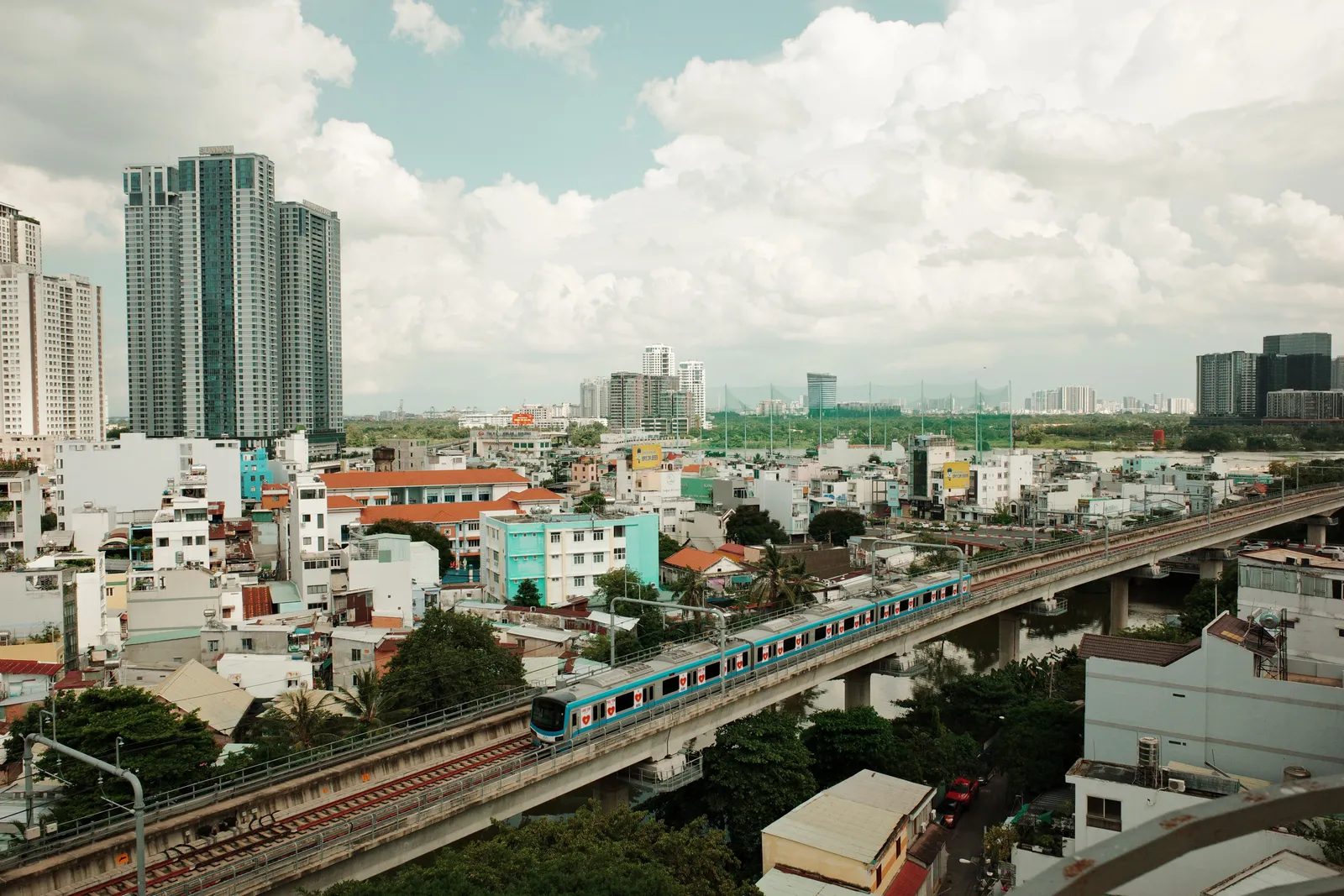
For most of the last decade, advice about getting around Vietnamese cities came down to the same three options: walk, hail a motorbike, or sit in traffic. That has genuinely changed. Ho Chi Minh City opened its first metro line in December 2024 and it turns out to be useful to visitors rather than a commuter curiosity. Hanoi has two operating lines, one of which almost nobody writes about correctly.
The catch is that the internet is full of network maps showing lines that do not exist yet, and at least one section that several travel sites describe as open is still a building site. Here is what is actually running.
Ho Chi Minh City Line 1: the one that matters
Line 1 runs from Ben Thanh, in the heart of District 1, east and then north to the Suoi Tien area, across fourteen stations. The central section is underground, the rest is elevated, and it entered commercial service in December 2024 after a very long construction period.
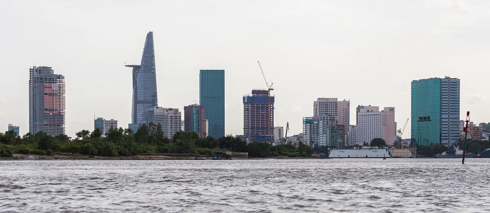
What makes it interesting to travellers is the station list rather than the engineering. The inner stops are Ben Thanh, right at the market and the main bus interchange, the Opera House, which puts you in the middle of the colonial-era core near the cathedral and the post office, and Ba Son on the riverfront. Further out, Tan Cang and Thao Dien serve the expat and restaurant district across the river in what used to be District 2, and the line continues through Thu Duc towards the university area and the Suoi Tien terminus.
That means a journey plenty of visitors make anyway, from the centre out to Thao Dien for dinner, is now a fifteen-ish minute train ride rather than an unpredictable crawl through traffic. That alone justifies the ticket.
What is not open, in either city
This is where most guides go wrong, so it is worth being blunt.
In Ho Chi Minh City there is one line. Lines 2, 3 and beyond appear on plenty of maps and in a lot of investment coverage, but they are in various stages of planning and construction, not service. If you see a colourful multi-line diagram of the HCMC metro, it is a plan.
In Hanoi there are two operating sections, and they are not connected to each other in any useful way for a visitor.
Hanoi Line 2A and the elevated part of Line 3
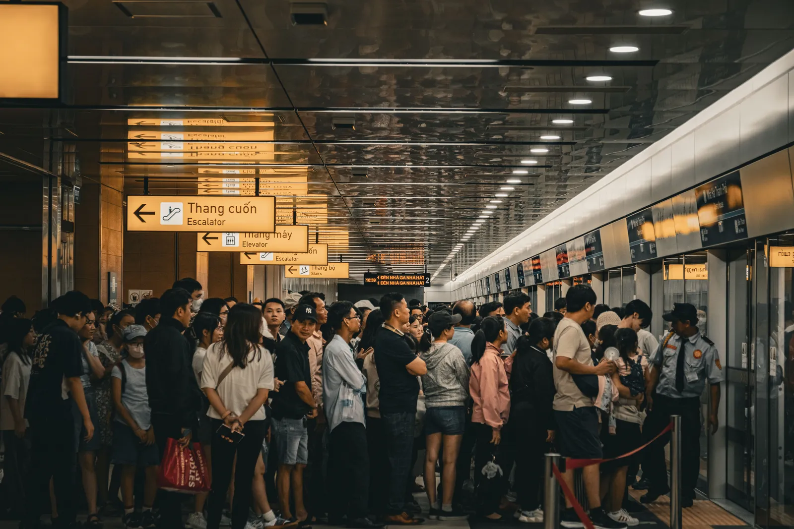
Line 2A runs from Cat Linh to Ha Dong, in the southwest of the city. It opened in 2021, it is fully elevated, and it is a perfectly pleasant ride. It is also a commuter line, running out to a suburban district rather than between the places tourists spend their time, so its value to a short-stay visitor is mostly the view from the viaduct.
Line 3 is the newer one, and it is the one to understand carefully. The elevated section from Nhon to Cau Giay opened in August 2024 and is running normally. The underground extension that carries the line onward to Hanoi Station has not opened. Tunnelling under the city has been completed, but the stations and systems are still being fitted out, and the publicly reported target for commercial service on that section is the end of 2027.
Several English-language travel articles imply the line already reaches Hanoi Station. It does not. Plan on Cau Giay as the eastern terminus and finish your journey another way.
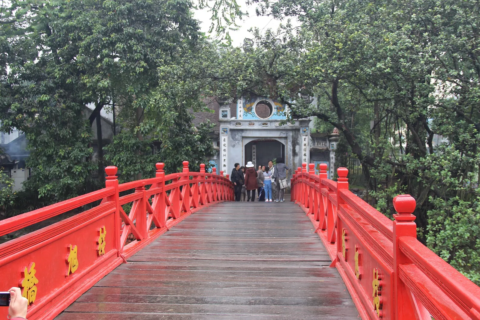
Neither Hanoi line serves the Old Quarter or Hoan Kiem Lake, which is where most visitors actually stay and wander, so in practical terms Hanoi sightseeing is still done on foot, by taxi or by ride-hailing app. Our Hanoi guide covers how the districts fit together and where the walking distances are manageable.
Tickets, apps and how to pay
Both systems are cheap and both are distance based.
In Ho Chi Minh City you can buy a single journey ticket at the station, use a stored value card, or pay through the operator smartphone app, which produces a QR code you scan at the gate. Contactless payment at the gates is supported, and fares paid by card, QR or app are generally a little cheaper than cash. There are also day and multi-day passes, which are worth considering if you are staying out towards Thao Dien or Thu Duc and expect to travel in and out repeatedly.
In Hanoi the model is similar: single tickets by distance, plus a day pass and monthly options aimed at commuters.
Single fares on both networks sit in the region of a few thousand to around twenty thousand dong, and passes are correspondingly cheap. All of this is volatile: fares were revised during 2025, free travel is periodically offered around major holidays, and app payment arrangements for foreign cards change without much notice. Check the operator website, or simply the fare board at the station, rather than trusting a figure in an article, including this one.
Get data before you landTicket apps, ride-hailing and station maps all assume you are online from the moment you arrive.A practical note for first-timers: the ticket apps and the ride-hailing apps that fill the gaps in the network both assume a working data connection from the moment you land, which is worth arranging before you arrive rather than at the airport counter.
Using the metro alongside everything else
The metro does not replace the rest of Vietnamese urban transport, it plugs one specific gap: the long, traffic-choked corridor.
Ride-hailing remains the default for short hops in both cities, in cars or on the back of a motorbike, and it is cheap enough that the metro will rarely win on convenience for a two kilometre journey. City buses cover far more ground than the rail lines and cost very little, though route information in English is patchy. Walking is still the honest answer in the old cores of both cities, where the streets are the attraction.
Where the metro wins is exactly where traffic is worst: Ben Thanh out to Thao Dien and Thu Duc at rush hour, or the run in from the western suburbs of Hanoi. Our getting around Vietnam guide puts these urban options in the context of trains, buses and domestic flights between cities.
Practical tips for riding
A few things that are not obvious from the map.
Stations are air conditioned and gates are automatic, so keep your ticket or card until you have exited, as you tap out as well as in.
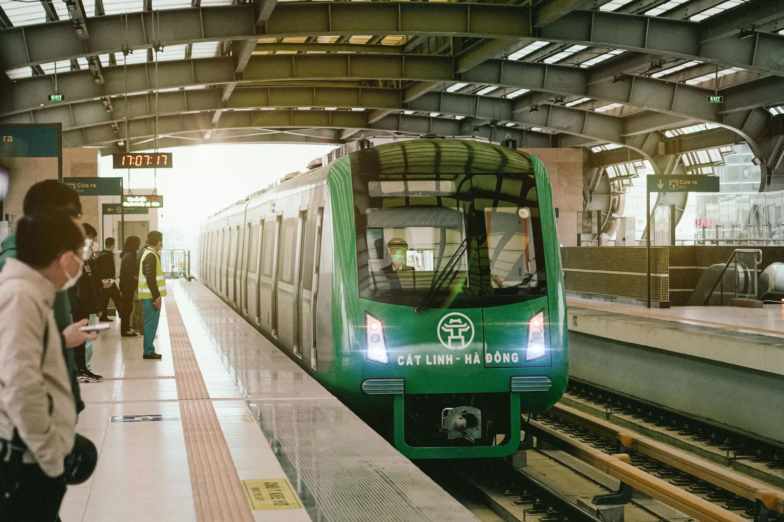
Trains are quiet outside peak hours and often busy with families at weekends, particularly on the Ho Chi Minh City line towards the Suoi Tien amusement park at the eastern end.
Signage is bilingual in Vietnamese and English on both networks, and announcements are made in both languages, so navigation is straightforward even on a first ride.
Check the last train time before an evening out. Services finish in the mid evening on both systems, earlier than visitors from cities with late-running metros tend to expect. Ho Chi Minh City has extended hours on some evenings, but do not assume it.
If you are working out where to base yourself, the metro corridor is now a genuine factor in Ho Chi Minh City for the first time, which our Ho Chi Minh City guide reflects in how it splits up the central districts.